


„Pomáháme při evidenci, správě a hospodaření s majetkem.“
Evidence a digitalizace majetku
 Dálkový průzkum země
  Inženýrské služby
Systémy pro správu majetku, koncepce Smart cities
 Inženýrské sítě
  Dopravní infrastruktura
  Průmyslové areály a budovy
  Životní prostředí
Aktuality
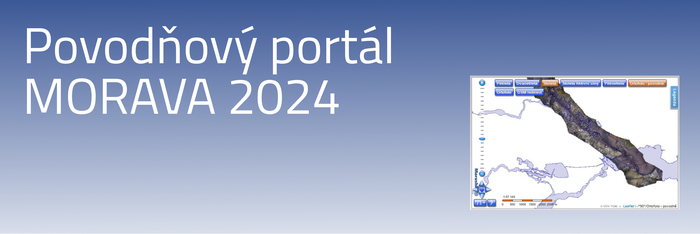
Povodňový portál MORAVA 2024
V září 2024 zasáhly Moravu ničivé povodně. Jakým způsobem zafungovala...